Mapping the Glass.
Bringing the Past to Life
By Glen & Stephen Thistlewood, August 2023. © 2023
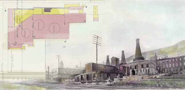
Composite of colorized image (by Glen Thistlewood) of the Northwood Co. glass plant in 1911 and
the 1902 Sanborn plan of the glassworks. Further credits elsewhere in this article.
the 1902 Sanborn plan of the glassworks. Further credits elsewhere in this article.
This unique feature tells the story of the “Big Five” Carnival Glass makers, in a fascinating and different way – through maps, plans and historical images.
This unique feature tells the story of the “Big Five” Carnival Glass makers, in a fascinating and different way – through maps, plans and historical images.
|
The “Big Five” USA makers are categorized here by their locations: Fenton at Williamstown, Imperial at Bellaire, Northwood at Wheeling, Dugan and Diamond at Indiana, and Millersburg in the town of the same name. The Ohio River valley connects Williamstown, Bellaire and Wheeling, while Indiana lies just north-east of Pittsburgh. Millersburg was something of an outlier, as we shall see. Street View brings the past to life While we pored over and studied many maps and plans as we researched and prepared this article, we found ourselves comparing them to the familiar Google Maps – and (amusingly) we even went to click on the “Street View” icon to see what the buildings looked like! Of course, there’s no “Street View” on maps from the early 1900s! So, we decided to make our own version of the street view by showing old photos and drawings of the glassworks alongside the plans. We show each of the “Big Five” glassworks by location on separate pages: you will be able to see what it was like in those early days and experience a little of "The Story Behind the Glass." |
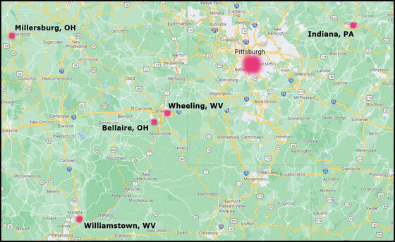
Map showing the location of the glassworks covered in this article.
For an idea of distance, Millersburg is about 120 miles from Pittsburgh. |
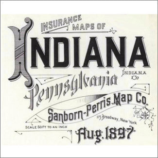
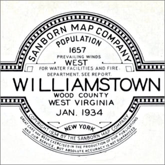
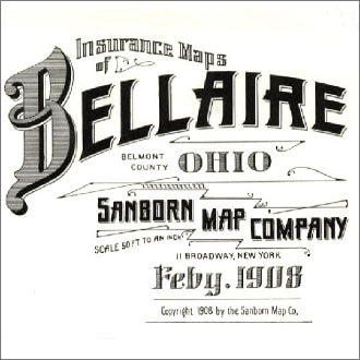
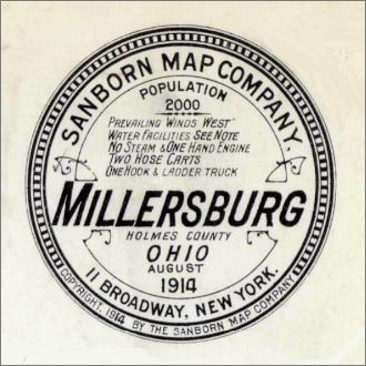
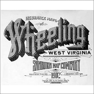
The Fire Maps
What inspired us for this unique feature article?
It was a series of meticulous, informative, and beautiful maps, drawn up for fire insurance purposes by the Sanborn Map Company. The fire prevention measures in place are carefully noted for each building by date. These alone provide a wealth of fascinating information into the management and administration of each of the glassworks - and the differences between them.
The maps are also masterpieces of cartography and design, and we have used some of their beautiful, graphic titling to illustrate these pages. However, the information the maps provide is extensive and goes way beyond the fire prevention aspects. We see the various owners of the glassworks over time. We see the location and size of the glassworks sites. We see the building plans and the relationship each part has to the others, and in particular we see the purpose and use of the buildings. This brings a wealth of history and context that is invaluable. The information offered about the glassworks is fascinating in itself and provides a unique opportunity for study. We have extensively added further information, contemporary pictures and images of the Carnival Glass produced during the timelines studied.
Menu
Simply click on the glassworks tab you want to look at and you will be taken to that page.